9 July 2026
Data collection is our strongest weapon against persistent chemical pollution. The latest issue of H2O Global News Magazine highlights a critical evolution in how we treat Per- and Polyfluoroalkyl Substances (PFAS), with industry experts moving past short-term containment options toward permanent destruction technologies.
However, a major obstacle remains for port authorities, marine operators, and municipal water managers. You cannot destroy or neutralise a pollutant if you do not know where it is located.
While specialized chemical destruction units deal with the final removal of these toxic compounds, the initial line of defense relies entirely on real-time environmental data. To deploy advanced treatments effectively, water managers require a complete digital layout of their waterways to map runoff patterns and identify chemical spikes before they spread through the local ecosystem.
Turning autonomous vessels into smart mobile laboratories
At RanMarine, our autonomous surface vessels (ASVs), including the WasteShark and MegaShark, are widely known for clearing physical plastic waste and surface debris. However, physical cleanup handles only part of the issue, because invisible chemical threats below the surface require a distinct approach.
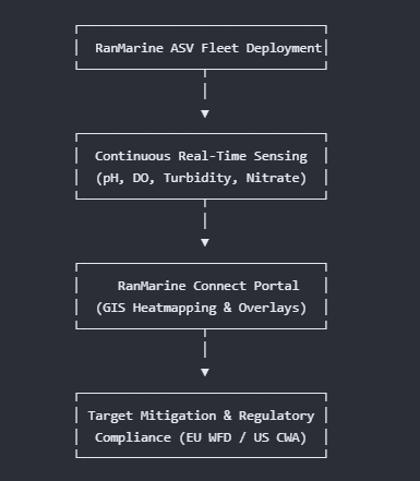
By fitting these autonomous drones with specialized, lab-grade water quality sensors, they function as floating mobile laboratories that gather continuous data during every deployment.
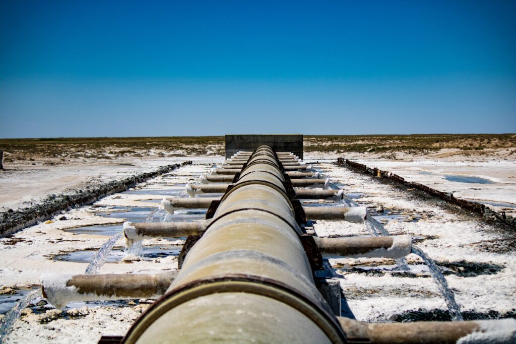
While identifying specific chemical groups like PFAS requires external laboratory analysis, managing complex pollution events relies on a proactive screening strategy. Our Regulatory Compliance Data Module offers a pre-configured, 9-parameter sensor array built to align with global standards such as the EU Water Framework Directive (WFD) and the US Clean Water Act (CWA).
By tracking foundational indicators including pH, dissolved oxygen, conductivity, turbidity, and agricultural runoff nutrients like nitrates, environmental teams can flag abnormal changes instantly.
Precision mapping for targeted environmental action
Environmental data delivers the greatest impact when paired with geographic context. Through the RanMarine Connect online portal, raw sensor readings convert into color-coded GIS heatmaps in real time.
This allows site operators to view underwater pollution hotspots and track wastewater or chemical plumes back to their exact discharge points with GPS accuracy.
Instead of relying on intermittent manual water sampling, autonomous data collection establishes a secure longitudinal trail. This system connects the initial detection phase with the targeted deployment of filtration and destruction solutions to protect global waterways.
🎯 Call to action
Protect your waterways with data-driven insights.
Are you prepared for stricter international water quality regulations and upcoming compliance audits? Discover how our autonomous drone fleet secures an irrefutable digital data trail while maintaining a clean marine ecosystem. Explore our certified sensor configurations and download the RanMarine Data Brochure today.